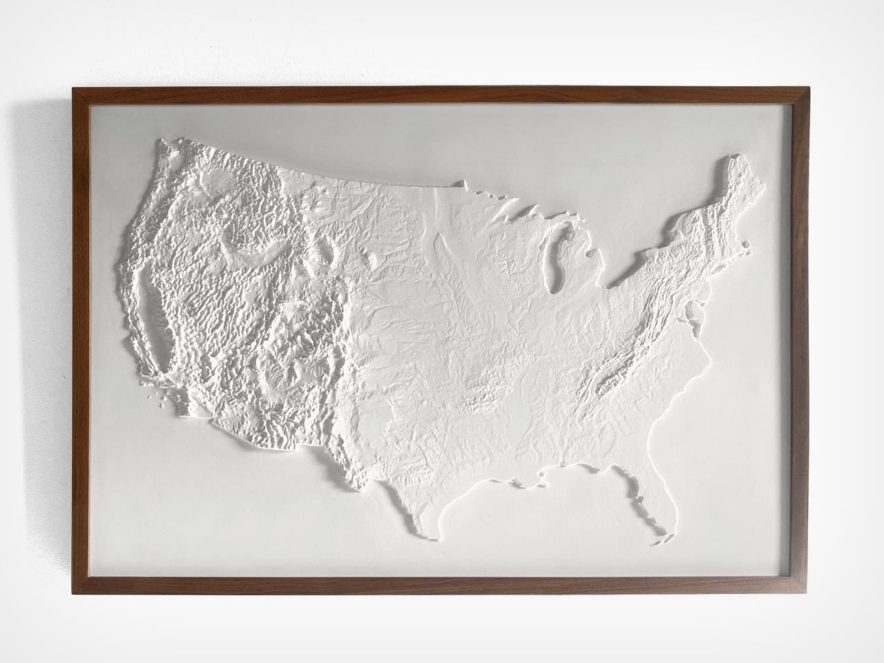
What is a country? The question usually leads to answers about people, laws, culture, and shared history. We define nations by their political structures and the lines we draw to contain them. These are human constructions, frameworks built to organize society and create a sense of collective identity. A country becomes a set of agreements, a shared story we tell ourselves about who we are. But underneath all of that lies a more fundamental truth, an identity that is millions of years older than any government.
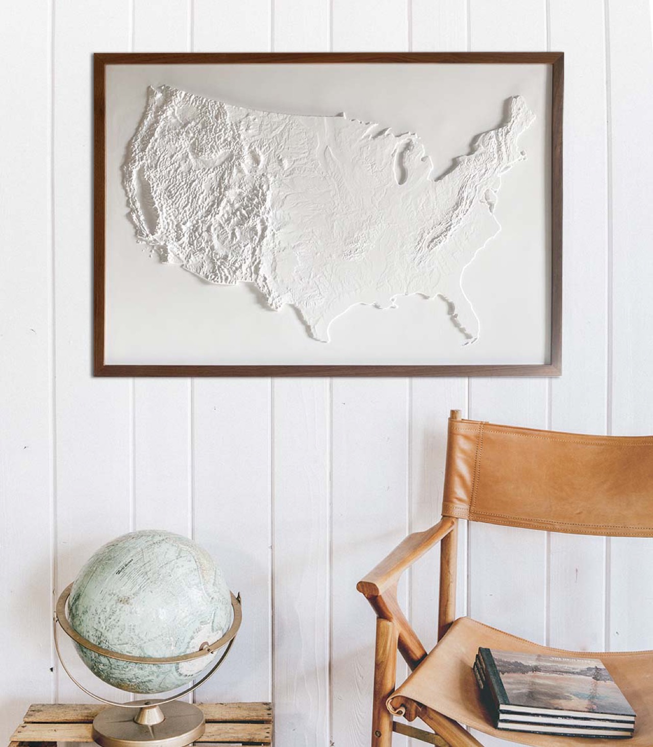
This is the truth captured by Muir Way’s 3D Raised Relief Map. It answers the question by presenting the United States as a physical entity, a vast and intricate piece of the Earth’s crust. The map argues that the country’s primary identity is its terrain. The story of America is inseparable from the formidable barrier of the Rockies, the fertile plains of the Midwest, and the strategic harbors of its coasts. It is a beautiful and potent reminder that a nation is, before anything else, a piece of land.
Designer:
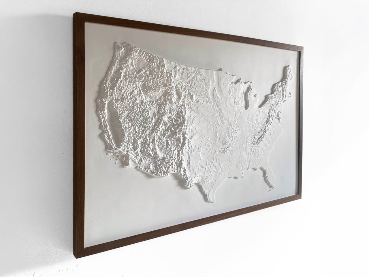
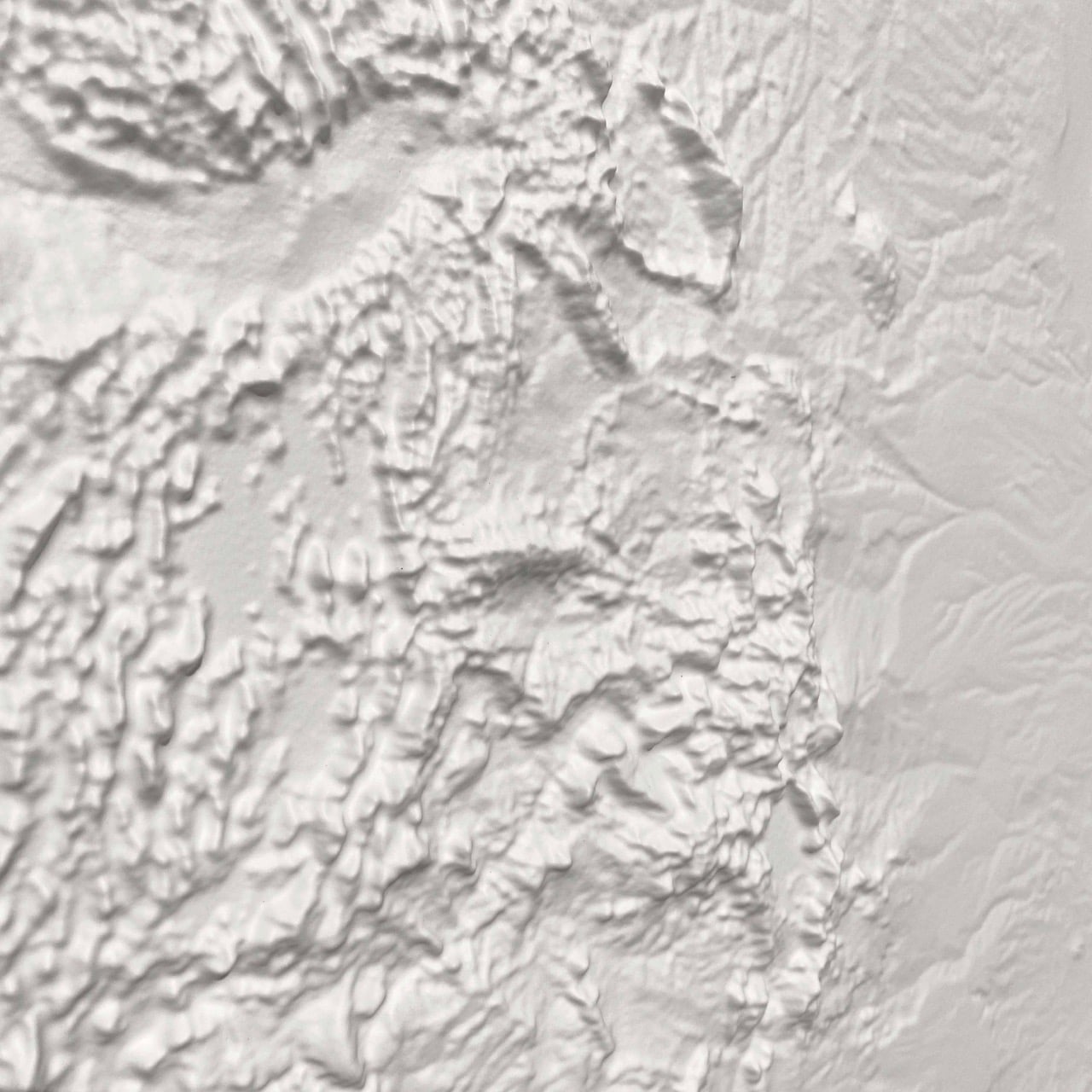
Rendered entirely in white, the piece hangs on the wall more like a sculpture than a conventional map. There are no colors to decode, no labels to parse, and no political borders to trace. Shadow does all the work instead. Light raking across the surface reveals the Rockies as a mass of jagged, compressed ridges, the Appalachians as a quieter but persistent ripple running along the eastern flank, and the Great Plains as a kind of vast, deliberate calm between them. The Great Lakes read as deep, smooth voids, which gives the northeastern quadrant an almost architectural quality. The effect is genuinely striking, the kind of thing that looks like it belongs in a museum dedicated to geography rather than a shop dedicated to maps.
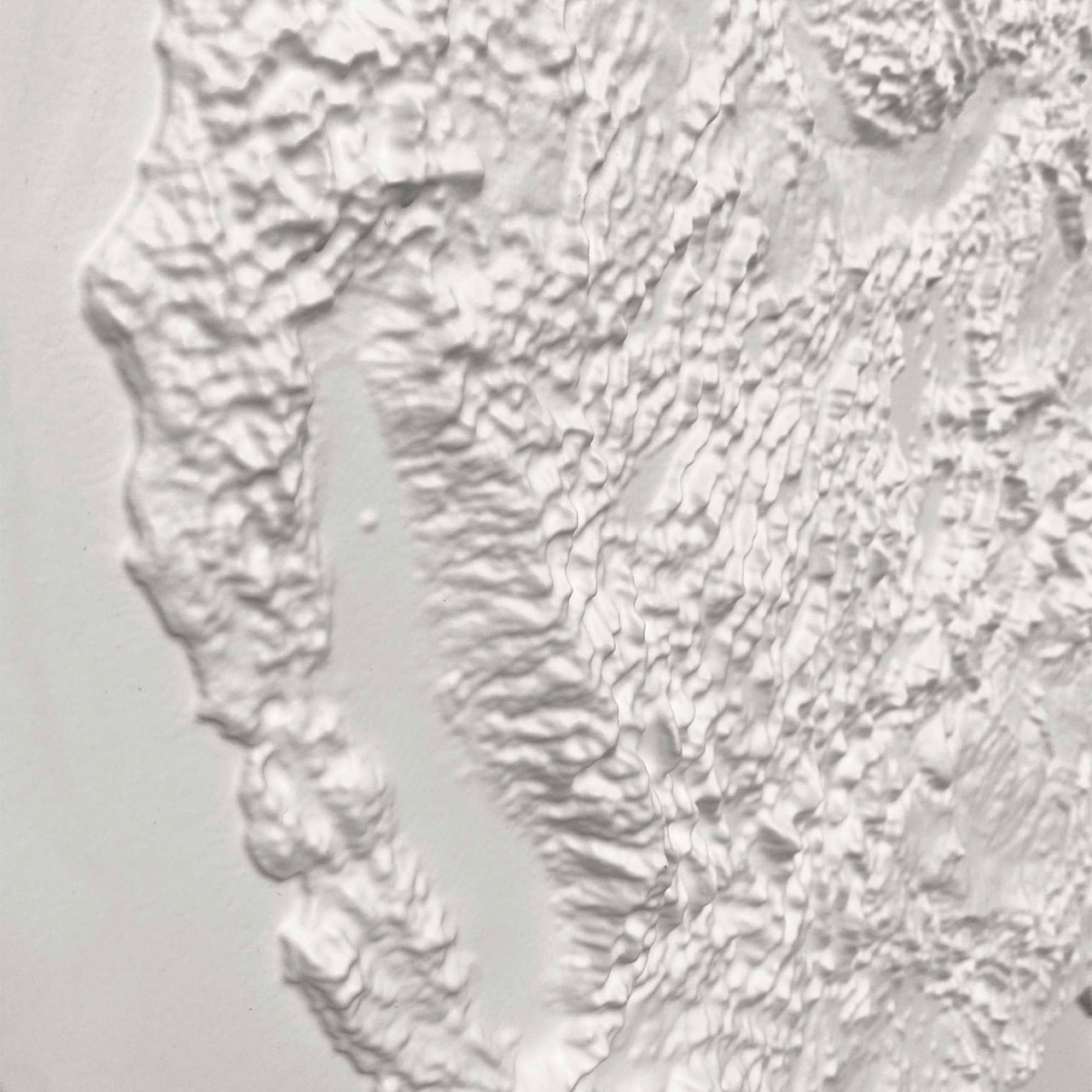
Muir Way, a San Diego-based map studio, builds each piece by digitally scanning and georeferencing source map data, then aligning it with modern elevation data to cut a precise three-dimensional mold. The surface is then printed on durable plastic and vacuum-formed over that mold, a process that translates topographic information into physical depth with real fidelity. The finished piece is mounted to foamboard and hand-finished. NASA elevation data underpins the accuracy of the terrain, which means the relief is cartographically honest rather than decoratively approximated. Muir Way works primarily with materials made in the USA, and a portion of the proceeds from each sale goes to outdoor-related charities including the Sierra Club Foundation, Leave No Trace, and the Waterkeeper Alliance.
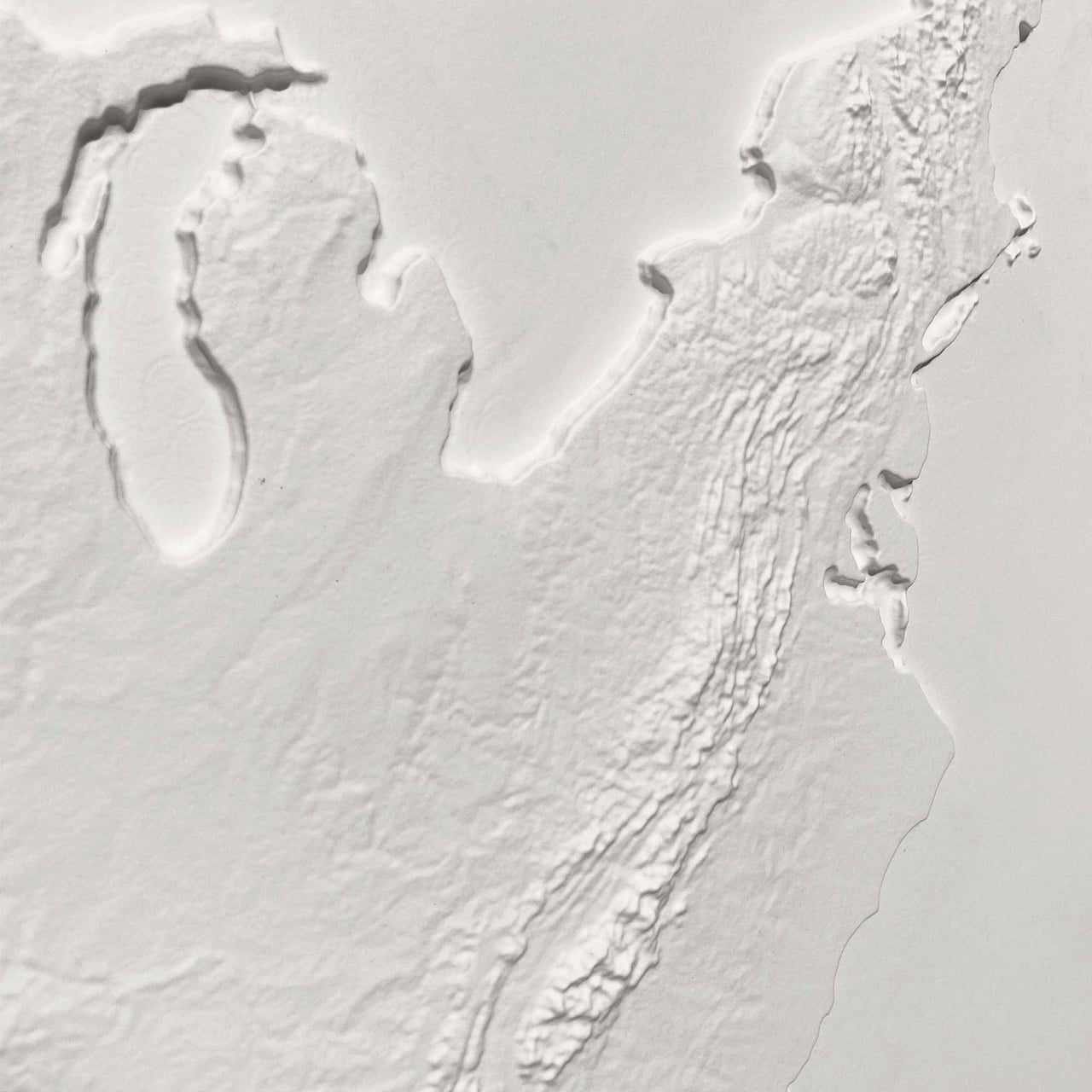
The map is priced at $199, with a sale price currently from $169.15 through the Muir Way website. A solid walnut frame, visible in most of the product photography and providing a warm contrast to the stark white surface, is available separately. As a July 4 gift, a housewarming piece, or simply an object for someone who takes their walls seriously, it holds up.
The post first appeared on .
Related Posts